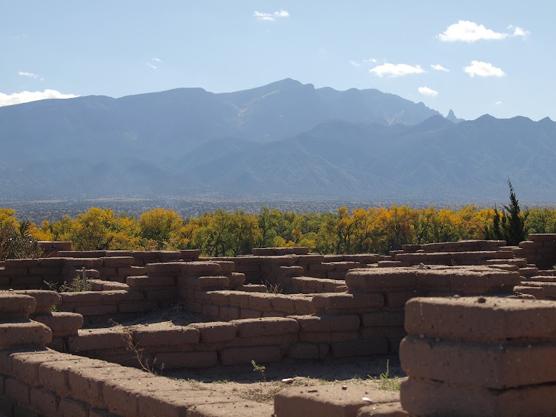
Sandia Mountains, Tent Rocks & Rio Grande Bosque
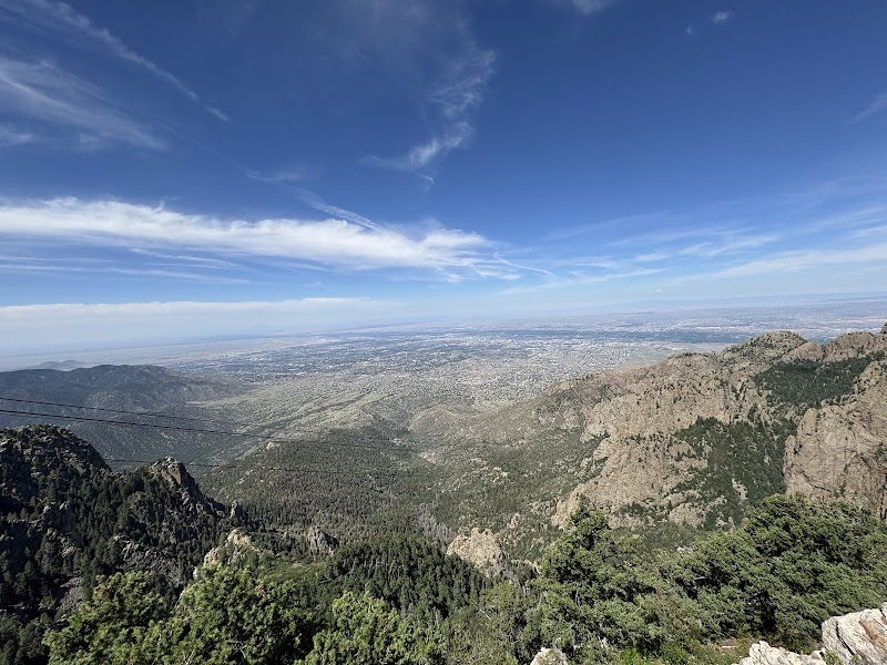
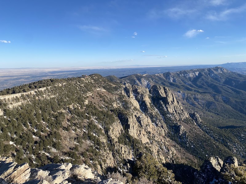
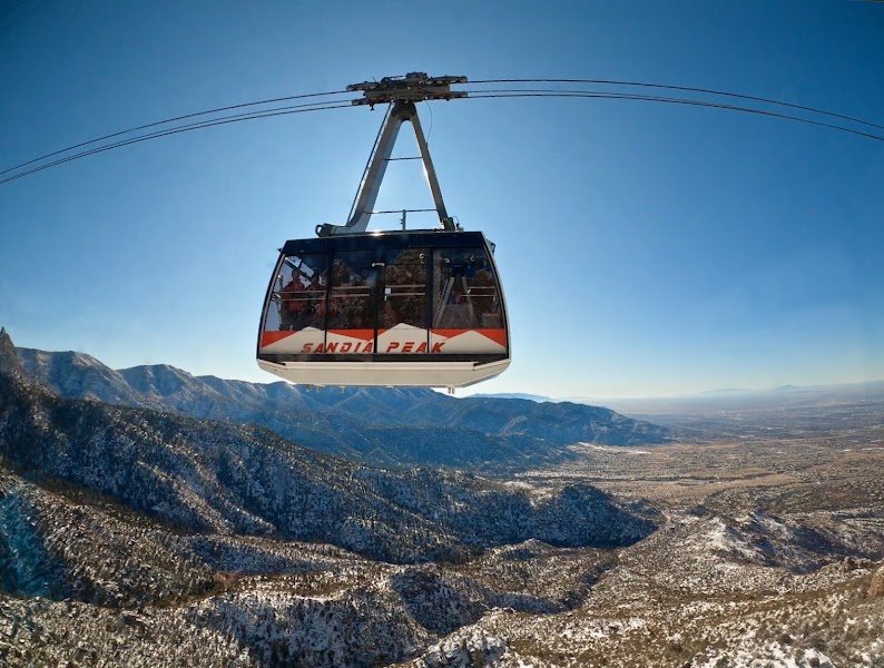
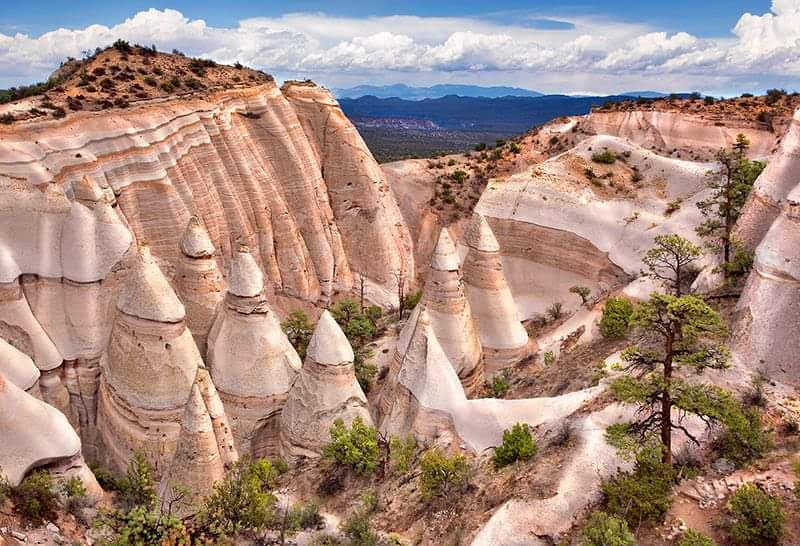
The three most distinctive active landscapes within 90 minutes of Albuquerque are all accessible without leaving New Mexico. The Sandia Mountains, which rise 10,378 feet immediately east of the city, are traversed by the La Luz Trail — one of the most strenuous day hikes in the Southwest, gaining 3,800 feet over 8 miles of granite and limestone. Kasha-Katuwe Tent Rocks National Monument, an hour north, has the most unusual geological landscape in New Mexico: volcanic tuff eroded into hundreds of cone-shaped pinnacles (tent rocks) with hard pumice caps protecting the softer tuff below. The Rio Grande Bosque (the cottonwood forest corridor along the river through Albuquerque) and the Petroglyph National Monument on the West Mesa (23,000 carved images on 17 miles of volcanic escarpment) complete the three-day circuit.
Day 1 — Sandia Mountains

Day 2 — Tent Rocks National Monument

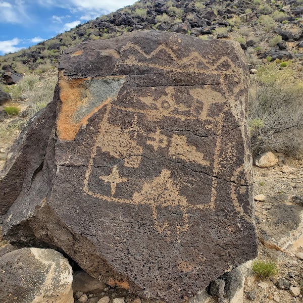
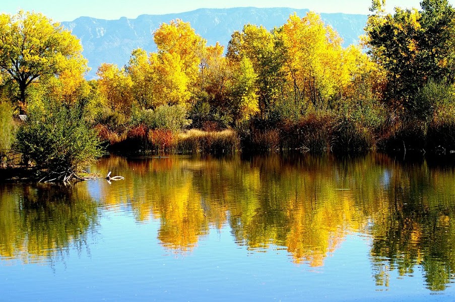
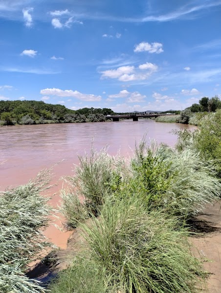
Day 3 — Petroglyph NM & Rio Grande Bosque