Smokies to Blue Ridge: Alum Cave, Clingmans Dome & Waterrock Knob
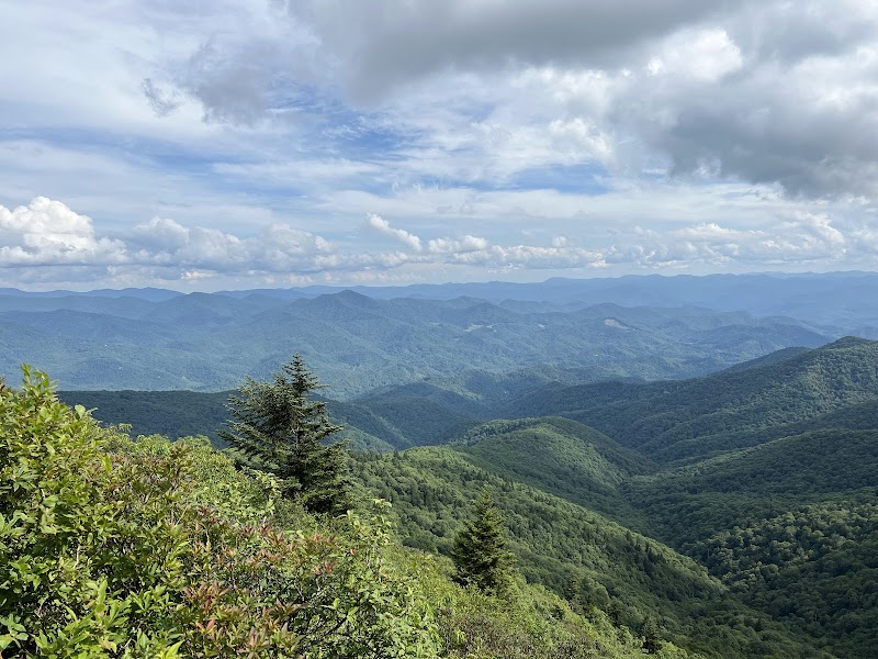
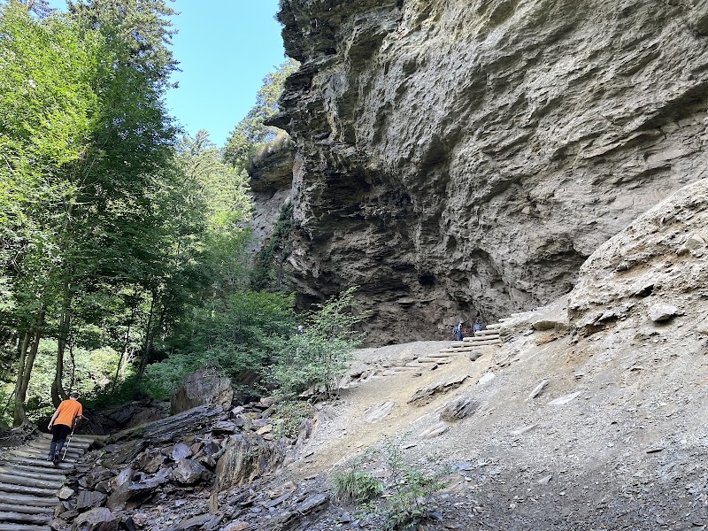
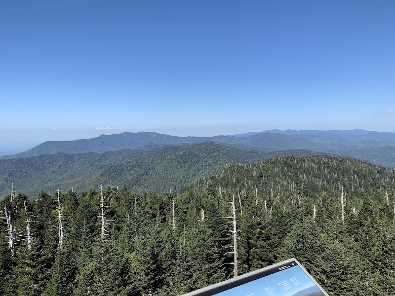
Three days that traverse the full height of the southern Appalachians — from the Alum Cave Trail's geological strangeness on day one to the summit of Clingmans Dome (6,643 feet, the highest point in the Smokies and the highest point on the Appalachian Trail) on day two, and out to Waterrock Knob on the Blue Ridge Parkway for the return on day three. The itinerary moves east to west across the mountain massif, sleeping in Gatlinburg after the first day's eastern Smokies hiking, then crossing into North Carolina to Cherokee for the second night, positioned for the Blue Ridge Parkway morning. Clingmans Dome is reached via a paved half-mile trail from the parking area at 6,311 feet — the steepest paved trail in the national park system — but the summit observation tower delivers the highest 360-degree panorama in the eastern United States. Waterrock Knob at BRP milepost 451.2 is one of the highest roadside viewpoints on the entire Blue Ridge Parkway at 5,820 feet, with an unobstructed sunset prospect toward the Smokies the traveler just crossed.
Day 1 — Great Smoky Mountains NP — Gatlinburg


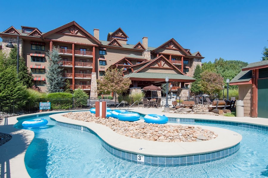
Day 2 — Clingmans Dome — Cherokee, NC
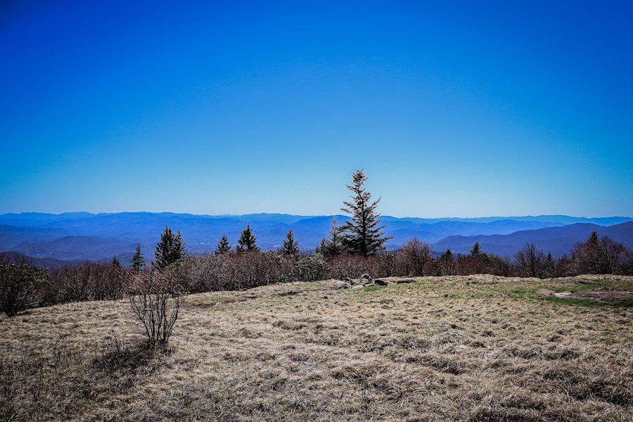

Day 3 — Blue Ridge Parkway — Return to Knoxville