Door County: Cave Point Wave Caves, Peninsula State Park & Washington Island Ferry
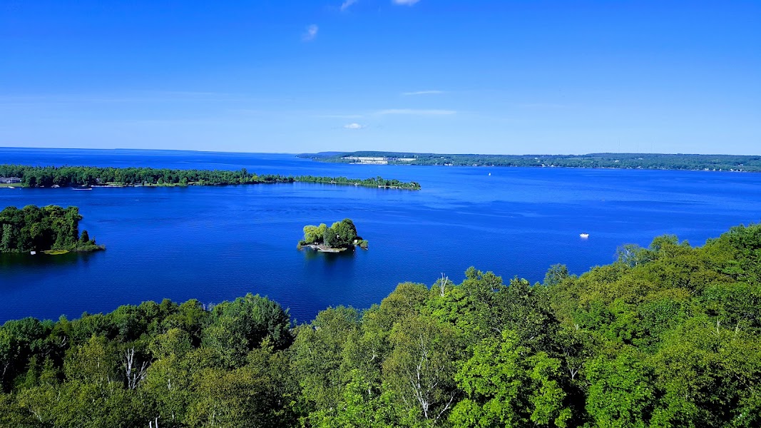
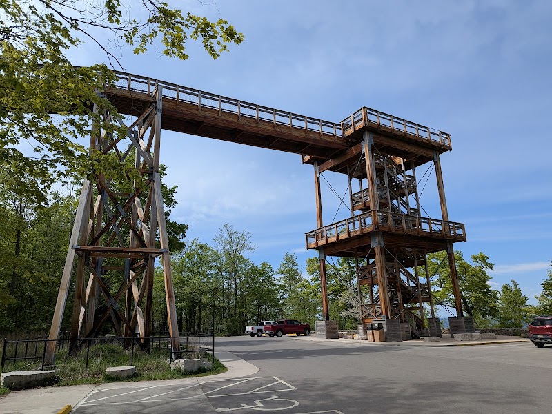
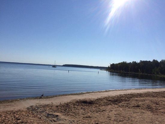
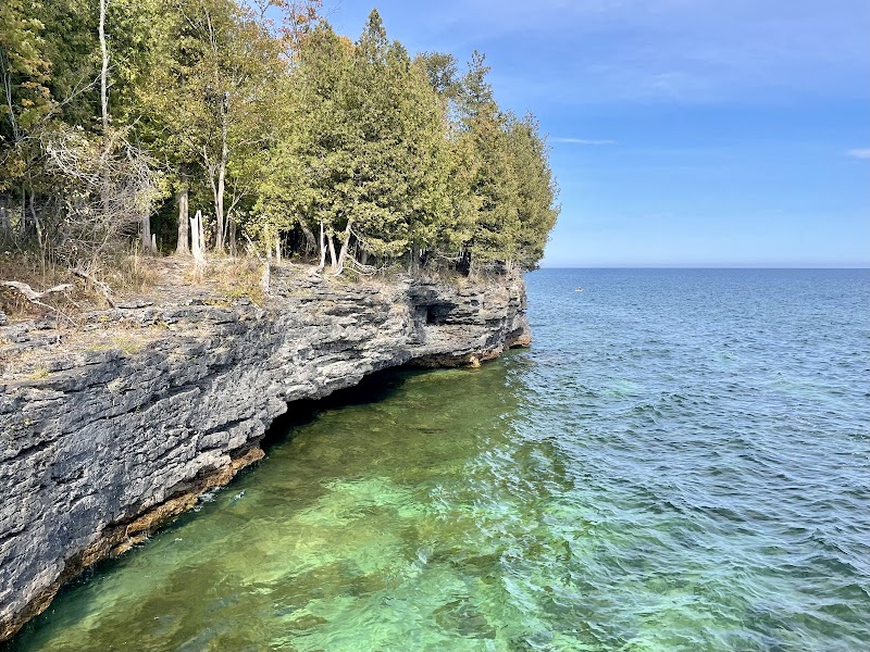
Three unhurried days on the Door County Peninsula — the 75-mile limestone finger between Green Bay and Lake Michigan that is Wisconsin's most distinct landscape. The peninsula's shoreline alternates between open Lake Michigan beaches and the sheltered Green Bay coves where commercial cherry and apple orchards grow to the water's edge. Cave Point County Park's sea caves (carved by Lake Michigan into the dolomite shoreline) hold some of the most dramatic wave action in the Great Lakes. Peninsula State Park covers 3,776 acres of the peninsula's northern end with limestone bluffs, hardwood forest, and Nicolet Bay's sand beach. The Washington Island ferry crosses the Death's Door passage (the 'Porte des Morts' that gave Door County its name) to the most remote year-round community in Wisconsin.
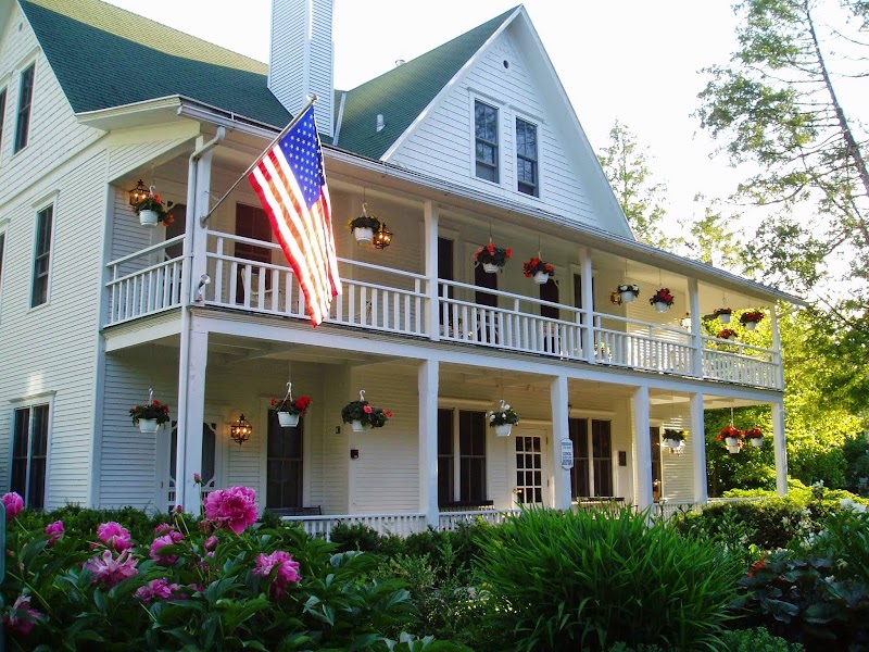
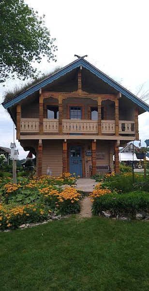
Day 1 — Fish Creek, Door County, WI
Day 2 — Cave Point & Washington Island, WI
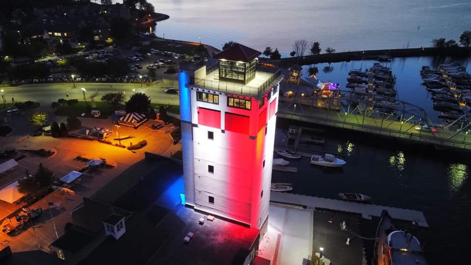
Day 3 — Sturgeon Bay — Return to Milwaukee