🥾 ActiveLong weekend · from New Orleans, LA
Jean Lafitte Swamps, Honey Island Bayou & Gulf Islands
Three days through the water-defined landscapes around New Orleans — the cypress swamps and bottomland hardwood forest of Jean Lafitte National Historical Park, the wild blackwater bayous of Honey Island Swamp on the Pearl River, and the white sand barrier islands of Gulf Islands National Seashore accessible only by ferry. The terrain is unlike anywhere else in North America: flat, warm, and alive with roseate spoonbills, alligators, and great blue herons.
Day 1 — Jean Lafitte Barataria Preserve (cypress swamp trails, alligators), Abita Springs Tammany Trace, overnight CovingtonDay 2 — Honey Island Swamp kayak (Pearl River blackwater bayou), Gulf Islands National Seashore ferry, overnight GulfportDay 3 — Gulf Islands Davis Bayou hiking & kayaking, Shepard State Park coastal trails, return New Orleans
Day 1 — Jean Lafitte NHP & St. Tammany Parish, LA
Day 1 — Jean Lafitte NHP & St. Tammany Parish, LA
🚗 1 hr 30 min driving📍 5 stops
🌅
Morning
🚗
Drive
New Orleans, LA → Jean Lafitte NHP — Barataria Preserve, Marrero, LA
30 min
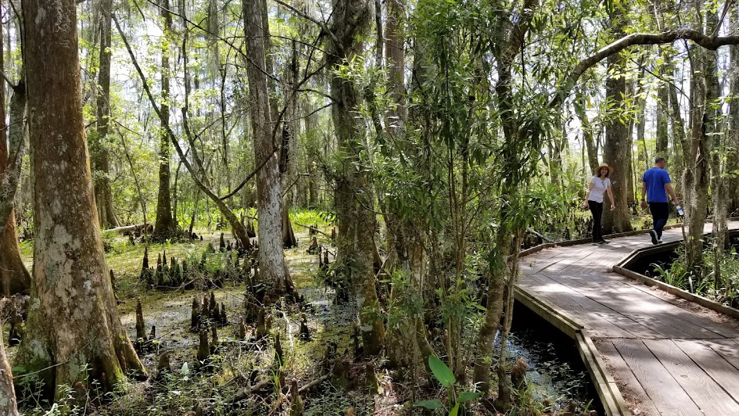
Jean Lafitte NHP Barataria Preserve — Bayou Coquille Trail
★ Reviews →8,000 acres of Louisiana wetlands south of New Orleans — bottomland hardwood forest, cypress-tupelo swamp, and open marsh in the Mississippi Delta. The Coquille Trail (2.0 miles round trip, boardwalk) passes through bald cypress and tupelo gum standing in black swamp water, with alligators sunning on logs year-round. The full trail network extends to 8 miles with connections through different wetland types. Bird life is extraordinary: roseate spoonbills, tricolored herons, anhinga, wood duck, and prothonotary warblers are year-round residents. Go early to beat the heat and catch the wildlife active.
~1.5 hrs📍 See location
🍽️
Lunch
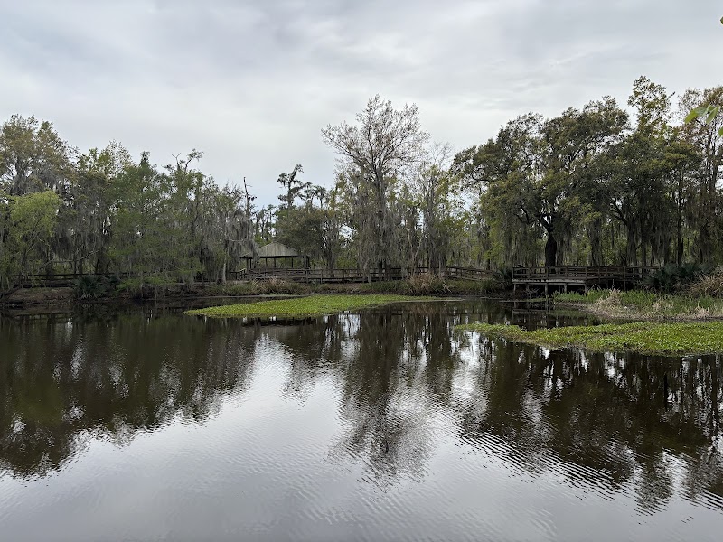
Jean Lafitte Loop Trail — Marsh Overlook
★ Reviews →The 3-mile Kenta Canal Trail and Plantation Trail loop extends the Barataria Preserve walk through the transition zones between cypress swamp and open freshwater marsh — the marsh areas give wider views of the landscape and the sky that the swamp canopy blocks. The 'trembling earth' of the marsh — floating peat mats that vibrate when you walk — is a Louisiana Delta phenomenon. The canal banks that appear throughout the preserve are remnants of 19th-century sugar plantation drainage works, now fully incorporated into the wetland ecosystem.
~1.5 hrs📍 See location
☀️
Afternoon
🚗
Drive
Jean Lafitte NHP, LA → Tammany Trace Trailhead — Abita Springs, LA
1 hr
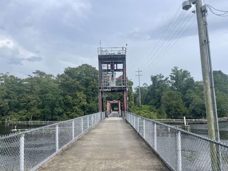
Tammany Trace — Abita Springs to Mandeville
★ Reviews →A 31-mile rail-trail through St. Tammany Parish on the north shore of Lake Pontchartrain — converted from a Louisville & Nashville Railroad branch line, now paved and shaded through a mix of longleaf pine flatwoods, bottomland hardwood, and small towns. The Abita Springs to Mandeville section (8 miles one way) passes through the town of Abita Springs (where the Abita Brewing Company runs tours) and ends at the Lake Pontchartrain causeway landing. Trail sections can be done as one-way with a shuttle or as an out-and-back.
~1.5 hrs📍 See location
🌙
Evening
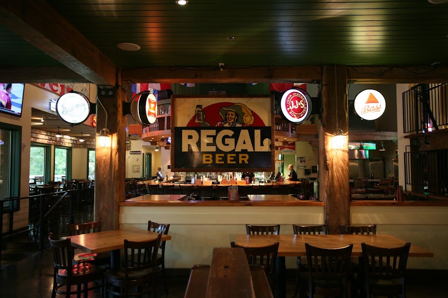
The Chimes Covington
★ Reviews →Easygoing hangout with a lively atmosphere featuring a worldwide beer list & hearty bar fare.
~1 hr📍 See location
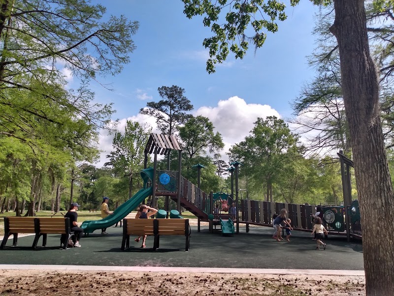
The Bogue Falaya Park Inn — Covington, LA
★ Reviews →Covington is the main town on the St. Tammany north shore — a well-established small city with a historic downtown and several hotels. The Boston Street corridor has good dinner options. Honey Island Swamp is 30 minutes east tomorrow morning.
~30 min📍 See location
Day 2 — Honey Island Swamp & Gulf Islands, MS
Day 2 — Honey Island Swamp & Gulf Islands, MS
🚗 1 hr 45 min driving📍 5 stops
🌅
Morning
🚗
Drive
Covington, LA → Honey Island Swamp — Pearl River, LA/MS
45 min
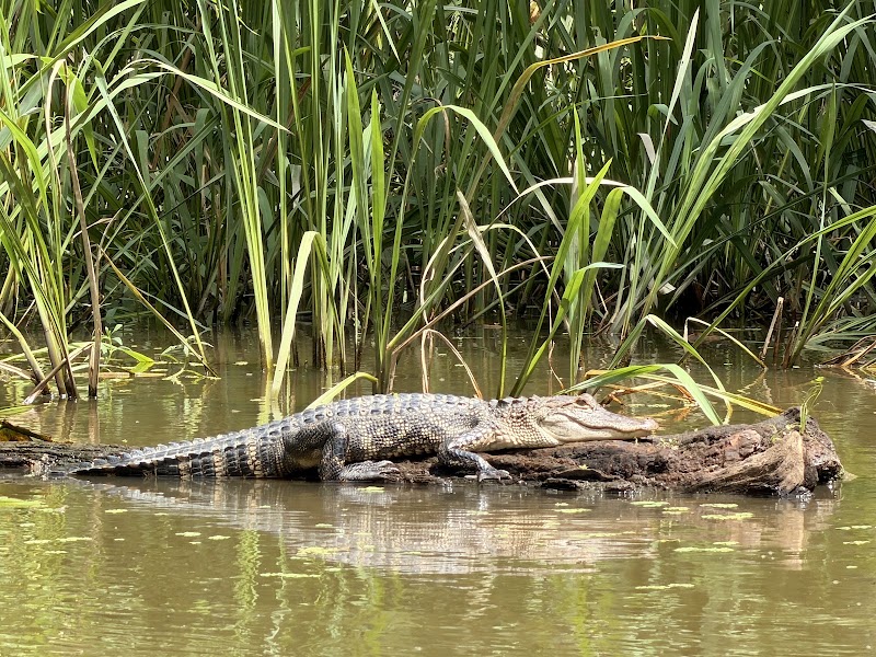
Honey Island Swamp — Kayak or Guided Tour
★ Reviews →One of the least-altered river swamps in the country — 70,000 acres of the Pearl River Wildlife Management Area where the West Pearl and East Pearl rivers braid through old-growth bald cypress and water tupelo. The blackwater bayous range from narrow channels paddled through 100-foot-tall cypress canopy to open lake areas with aquatic vegetation. Guided kayak and canoe tours depart from the Crawford Landing area near Slidell; naturalist guides identify alligators, water moccasins, eagles, and the full suite of swamp wildlife. The swamp's water color (tannin-dark from decomposing cypress needles) contrasts with the Spanish moss overhead.
~1 hr📍 See location
🍽️
Lunch
🚗
Drive
Honey Island Swamp, LA → Gulf Islands National Seashore — Gulfport Ferry Terminal, MS
1 hr
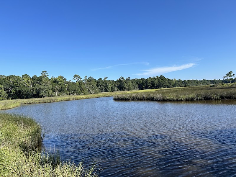
Gulf Islands National Seashore — Ship Island Ferry
★ Reviews →A 12-mile ferry from Gulfport reaches Ship Island — an 11-mile barrier island with no roads, no cars, and white sand beaches on the Gulf of Mexico. Ship Island was split into East and West Ship Island by Hurricane Camille in 1969; the ferry serves West Ship Island, where Fort Massachusetts (an 1850s granite and brick Civil War-era fort) stands at the western tip. The island's beach is among the least-developed on the northern Gulf Coast; the water is warm and typically clear on calm days.
~1 hr📍 See location
☀️
Afternoon
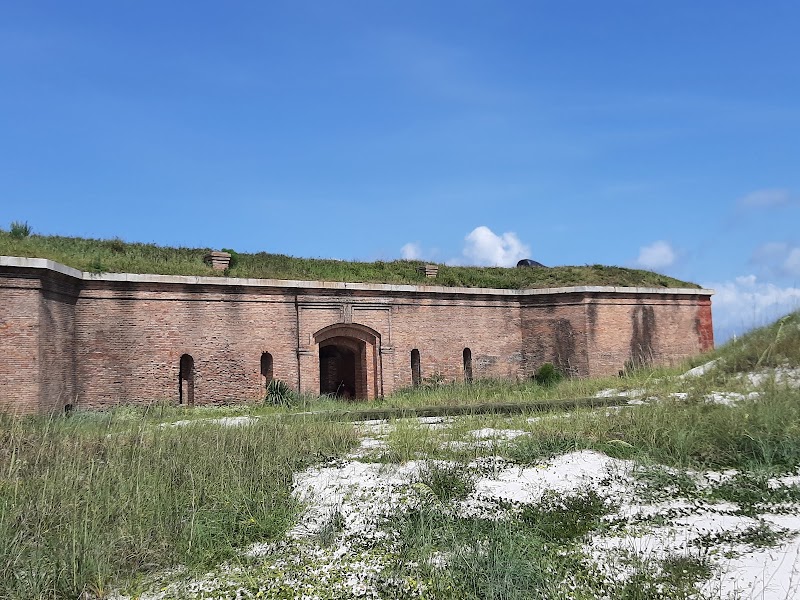
Fort Massachusetts — Ship Island
★ Reviews →A Third System masonry fort built between 1858 and 1866 on Ship Island's western end — Union forces captured the incomplete fort in September 1861 and used it as a base for the capture of New Orleans in April 1862. The fort processed Confederate prisoners of war; its most historically complex episode was the incarceration of over 2,000 enslaved people who had escaped Confederate territory and arrived at Ship Island seeking Union protection, held in the fort's interior before being assigned to labor brigades. The structure is well-preserved with moat and interior parade ground.
~1 hr📍 See location
🌙
Evening
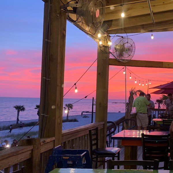
Shaggy's Biloxi Beach
★ Reviews →Lively, kid-friendly beachfront spot serves seafood & drinks in funky digs with gulf views & patio.
~1 hr📍 See location
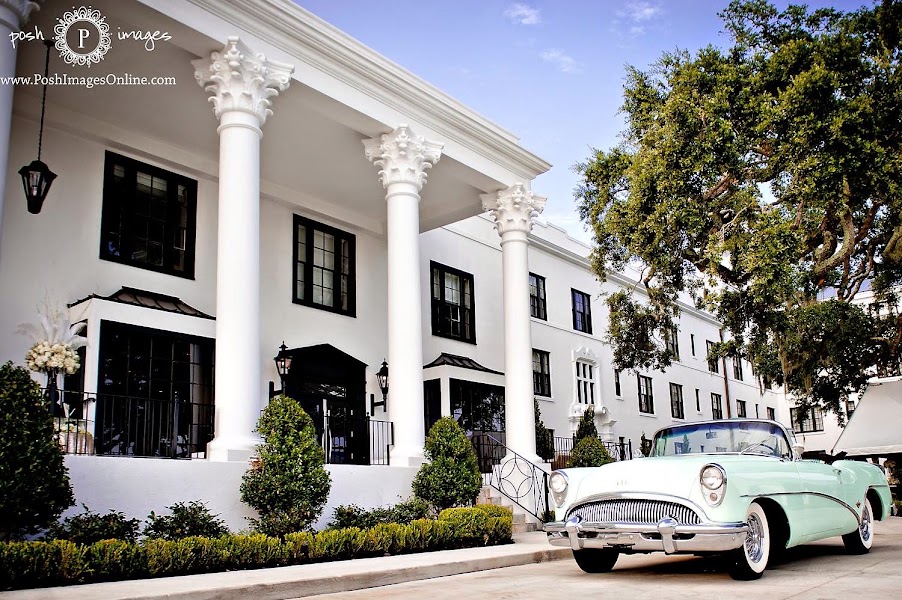
White House Hotel — Biloxi, MS
★ Reviews →Biloxi's historic beachfront hotel — the Mississippi Gulf Coast's casino hotel strip has altered the waterfront significantly, but Biloxi's old town and lighthouse area retain some of the pre-casino character. Ocean Springs, 15 minutes east, has a better restaurant selection if casino buffets don't appeal. Tomorrow's return to New Orleans is 90 minutes west.
Day 3 — Ocean Springs & Biloxi — Return to New Orleans
Day 3 — Ocean Springs & Biloxi — Return to New Orleans
🚗 1 hr 45 min driving📍 3 stops
🌅
Morning
🚗
Drive
Biloxi, MS → Gulf Islands NPS — Davis Bayou Area, Ocean Springs, MS
15 min
Gulf Islands NPS — Davis Bayou Area
★ Reviews →The mainland unit of Gulf Islands National Seashore in Ocean Springs — a 1.7-mile nature trail through coastal pine flatwoods and bayou edge, a kayak and canoe launch into Davis Bayou estuary, and a fishing pier over the water. Davis Bayou is a quieter counterpart to the barrier island ferry experience from the previous day: resident alligators sunning on the bank, brown pelicans fishing overhead, and the bayou's tannin-stained water threading through cordgrass marsh. The launch is sheltered enough for beginners and the bayou opens into a wider estuary with views toward Horn Island on clear days. The NPS ranger station at the entrance has maps and current wildlife information.
~1.5 hrs📍 See location
🍽️
Lunch
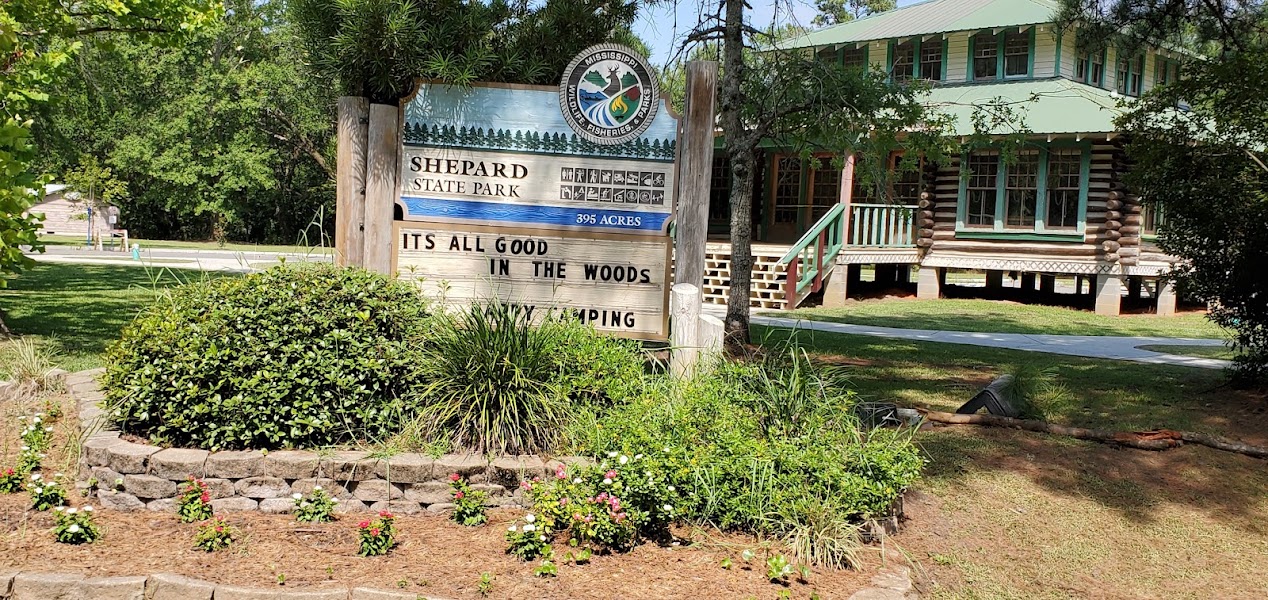
Shepard State Park — Gautier, MS
★ Reviews →A 396-acre Mississippi state park on Graveline Bayou in Gautier, 15 minutes east of Ocean Springs — coastal live oak forest, salt marsh, and a boat launch onto the bayou for kayaks and canoes. The park's nature trails wind along the bayou edge where great blue herons, anhingas, and marsh birds are abundant. The picnic grounds under old-growth live oaks make a good lunch stop; the small bayou beach is calm enough for wading and swimming. Gautier is the least-visited of the Jackson County coastal parks and the most rewarding for wildlife.
~1 hr📍 See location
☀️
Afternoon
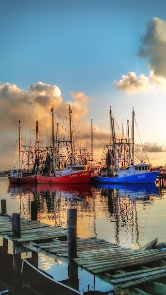
Back Bay Biloxi — Kayak & Paddleboard Launch
★ Reviews →The Back Bay of Biloxi — a 2,800-acre estuary sheltered between the Biloxi peninsula and the mainland — provides a final Gulf Coast water experience before the 90-minute drive west to New Orleans. The bay is calm compared to the open Gulf, warm in summer, and has a consistent population of Atlantic bottlenose dolphins (resident year-round) alongside ospreys, egrets, and brown pelicans. Kayak and paddleboard rentals are available near the Back Bay waterfront. The casino hotel skyline recedes behind you as you paddle east into the quieter estuary waters.
~1.5 hrs📍 See location
🌙
Evening
🚗
Drive
Biloxi, MS → New Orleans, LA
1 hr 30 min
← All New Orleans trips
More getaways from New Orleans
Barataria Preserve: Bayous, Boardwalks & Alligators — Day trip🥾Barataria Bayou to Grand Isle: Swamp Trails & Barrier Island — Weekend🥾Barataria Bayou, Grand Isle & Houma Airboat Adventure — Long weekend🥾River Road Plantations: Whitney, Oak Alley & Laura — Day trip🏛️River Road Plantations & Baton Rouge's Living History — Weekend🏛️The Complete Louisiana Circuit: River Road, Baton Rouge & Cajun Country — Long weekend🏛️North Shore Day: Covington, Abita Brewery & Mandeville Waterfront — Day trip🌿North Shore Escape: Covington, Mandeville & the Global Wildlife Center — Weekend🌿
© 2026 theweekendgetaways.com · All itineraries are original content. Terms
Plan your own escapeExplore more trips →