Black Hills Active Circuit: Badlands, Wind Cave & Harney Peak
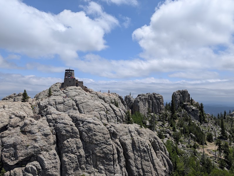
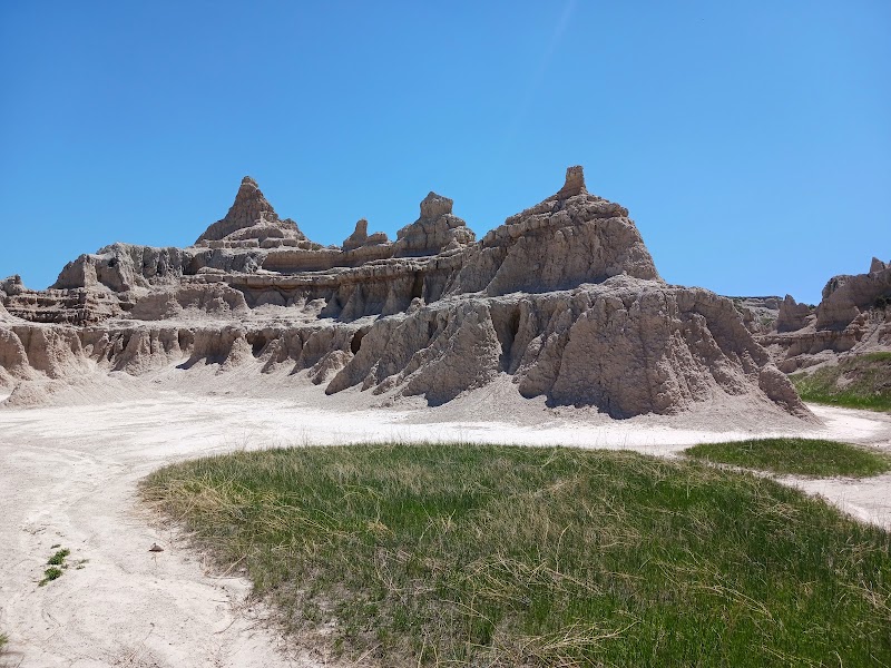
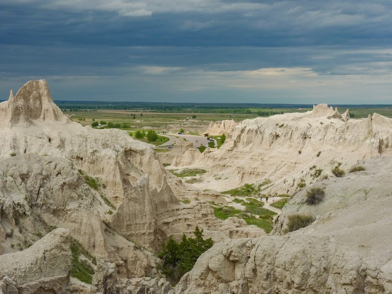
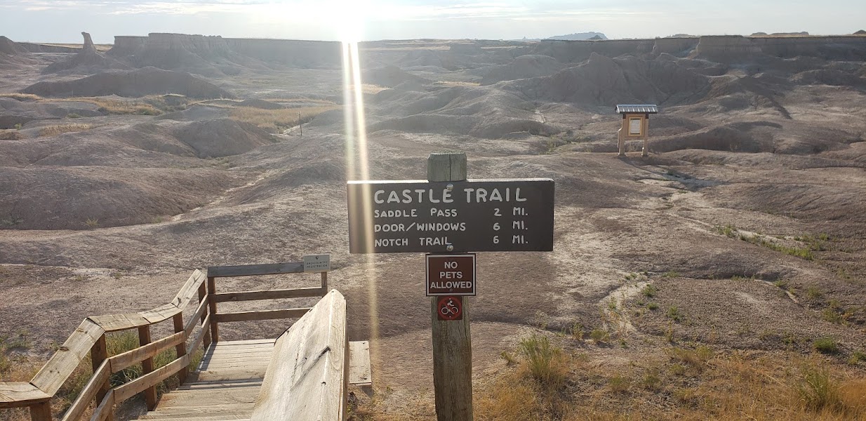
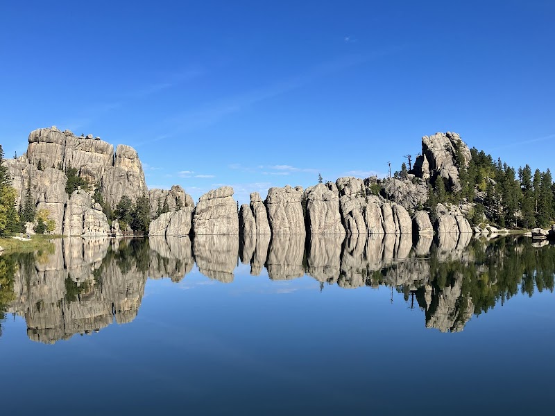
Three days that cover the full active range of the Black Hills region — the open eroded clay formations of the Badlands, the underground boxwork labyrinth of Wind Cave, and the summit of Black Elk Peak (formerly Harney Peak) at 7,244 feet, the highest point in the United States east of the Rocky Mountains. Black Elk Peak in Custer State Park requires a 7-mile round-trip hike to a historic stone fire lookout tower at the summit; on clear days the panorama extends over 100 miles and includes the Badlands formations to the east, the Wyoming ranges to the west, and the Black Hills massif in every direction. The three days together touch the three distinctive environments of the Black Hills — its eastern prairie/badlands edge, its subsurface limestone cave systems, and its granitic highland core.
Day 1 — Badlands National Park
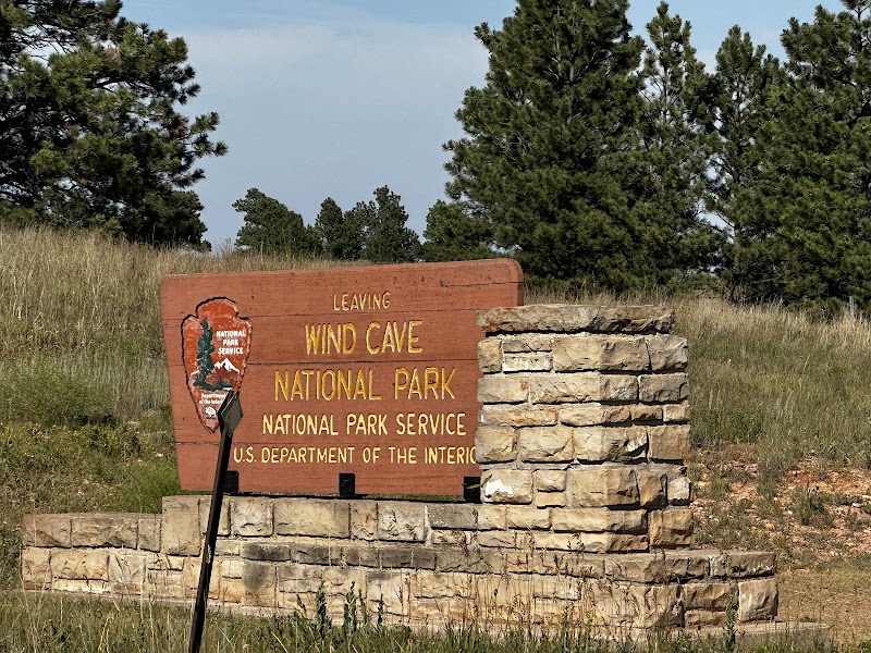
Day 2 — Wind Cave NP — Custer
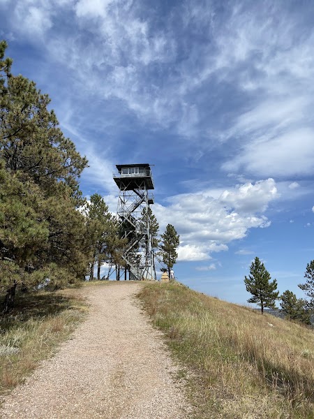
Day 3 — Black Elk Peak — Return to Rapid City