🥾 ActiveWeekend · from Tucson, AZ

Saguaro East + Mount Lemmon Sky Island

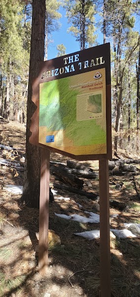
Two days connecting the Sonoran Desert floor at Saguaro National Park East with the 9,157-foot sky island summit of Mount Lemmon — the highest point in the Santa Catalina Mountains and the southernmost ski area in the United States. The sky island concept describes the Madrean Archipelago: mountain ranges rising from the Sonoran Desert floor like islands, each supporting a distinct ecosystem from desert at the base through desert grassland, chaparral, pine-oak woodland, ponderosa pine forest, and mixed conifer at the summit. The transition from saguaro cactus at 2,700 feet to Douglas fir at 9,000 feet covers the same ecological distance as driving from Mexico to Canada. Day one covers Saguaro East; day two ascends the Catalina Highway (the Mount Lemmon Highway, 27 miles) to the summit for the Marshall Gulch Trail loop in the Wilderness of Rocks.
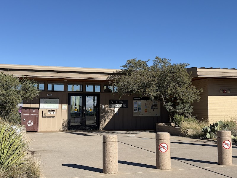
Day 1 — Saguaro NP East: Cactus Forest Drive + Tanque Verde Ridge Trail (desert ecology), overnight TucsonDay 2 — Mount Lemmon: Catalina Highway scenic drive (5 life zones), Marshall Gulch Trail loop (sky island summit forest), return
Day 1Saguaro National Park East

Day 1Saguaro National Park East

🚗 25 min driving📍 4 stops
🌅
Morning
🚗
Drive
Tucson, AZSaguaro NP East — Rincon Mountain District
25 min8:00 AM8:25 AM
Cactus Forest Drive — Rincon District
4.7
The 8-mile one-way Cactus Forest Drive loop — a paved road through the densest saguaro canopy in the Rincon Mountain District, with designated pullouts at the best photography points and trailheads to the short interpretive trails. The Mica View pullout provides the most complete panorama of the saguaro forest; the Javelina Rocks pullout is the best bouldering scramble area. The dawn hours (gate opens at 7am) are when the desert light and cooler temperatures are optimal; javelinas, Gambel's quail, and cactus wrens are most active in the early morning.
🍽️
Lunch
Tanque Verde Ridge Trail — Desert Ecology
4.8
The Tanque Verde Ridge Trail — ascending the Rincon Mountain front ridge from the desert floor (2,700ft) into the prickly pear and saguaro transition zone, with a turnaround at the 4-mile mark (5,000ft) for an 8-mile RT, 2,300-foot gain hike. The ridge is exposed desert with expansive views of the Tucson Basin to the west and the Rincon Mountain wilderness to the east; ocotillo, barrel cactus, and palo verde frame the ridgeline. The Rincon Mountain District backcountry above this trail is roadless wilderness requiring permits for overnight use.
☀️
Afternoon
Saguaro East — Sunset Desert Walk
An afternoon exploration of the shorter Saguaro East trails near the visitor center — the Desert Ecology Trail (0.5-mile wheelchair-accessible interpretive loop), the Loma Verde Loop (0.5mi), and the wash exploration areas off the Cactus Forest Drive. The saguaro desert at late afternoon shows the characteristic orange-pink light across the orange-red desert soil that makes the Sonoran Desert visually distinct from other North American deserts.
🌙
Evening
Tucson — Hotel Overnight
Overnight in Tucson — the Arizona Inn (1930, 14-acre historic resort in central Tucson), the Hotel Congress (1919, downtown historic, John Dillinger captured here 1934), and the Graduate Tucson (University of Arizona district) are the most character-rich options. The 4th Avenue district and the Congress Street bar and restaurant corridor are the main evening zones.
Day 2Mount Lemmon — Santa Catalina Mountains

Day 2Mount Lemmon — Santa Catalina Mountains

🚗 1 hr 30 min driving📍 2 stops
🌅
Morning
🚗
Drive
Tucson, AZMount Lemmon — Summerhaven
45 min8:00 AM8:45 AM
Catalina Highway Sky Island Drive
The Catalina Highway (General Hitchcock Highway) — a 27-mile road ascending Mount Lemmon from 2,800 feet to 9,100 feet, passing through five distinct life zones in the equivalent ecological transition of driving from Mexico to Canada. The geology pullouts at mile markers 10 (Windy Point Vista, 5,900ft), 19 (Rose Canyon Lake), and 25 (the transition into Douglas fir forest) mark the major biome changes. The road was built by prison labor 1933-1950; the granite outcrops and bouldering areas at Windy Point are the most dramatic visual on the ascent.
🍽️
Lunch
Marshall Gulch Trail Loop — Sky Island Summit
4.8
The Marshall Gulch Trail loop (1.7 miles, 400ft gain) near the Summerhaven summit village — a loop through the Douglas fir, ponderosa pine, and spruce forest of the Mount Lemmon sky island. The trail follows Marshall Gulch creek through a riparian canyon of bigtooth maple, box elder, and cottonwood — a lush forest 4,500 feet above the Tucson saguaro desert visible in the Tucson Basin below. Summerhaven village (9,100ft) has a café and a small collection of summer cabins that survived the 2003 Aspen Fire (which burned 84,000 acres and destroyed most of Summerhaven).
🌙
Evening
🚗
Drive
Mount Lemmon, AZTucson, AZ
45 min5:00 PM5:45 PM
Plan your own escapeExplore more trips →