← The Weekend Getaways
🥾 ActiveWeekend · from Rapid City, SD

Northern Hills — The Mickelson Trail & Terry Peak

Two days of rail-trail cycling and high-country hiking in the northern Black Hills, built around the George S. Mickelson Trail — the 109-mile crushed-limestone rail-to-trail that follows the old Burlington railroad grade through the heart of the hills at grades no steeper than four percent. Day one rolls out from the tiny crossroads of Rochford deep in the pine forest, spinning through meadows, along Rapid Creek, and over reclaimed railroad trestles on the gentlest and most remote stretch of the whole trail. Day two climbs to the roof of the northern hills at Terry Peak — at 7,064 feet one of the highest summits in the range and the high point of the northern Black Hills — for wide-open views across four states, then explores the ridgeline forest trails above the old mining town of Lead before the return south. Nights are spent in Lead, the mile-high former gold-mining town clinging to the mountainside above the historic Homestake mine. The route stays deliberately in the high forest and on the peaks, apart from the tourist corridors below.

Day 1 — Cycling the Mickelson Trail from RochfordDay 2 — Terry Peak summit & the northern-hills trails
Day 1Rochford & the Mickelson Trail, SD

Day 1Rochford & the Mickelson Trail, SD

🚗 1 hr 50 min driving📍 5 stops
🌅
Morning
🚗
Drive
Rapid City, SDRochford Trailhead, Mickelson Trail
1 hr 15 min8:00 AM9:15 AM
Rochford Trailhead, George S. Mickelson Trail
4.6
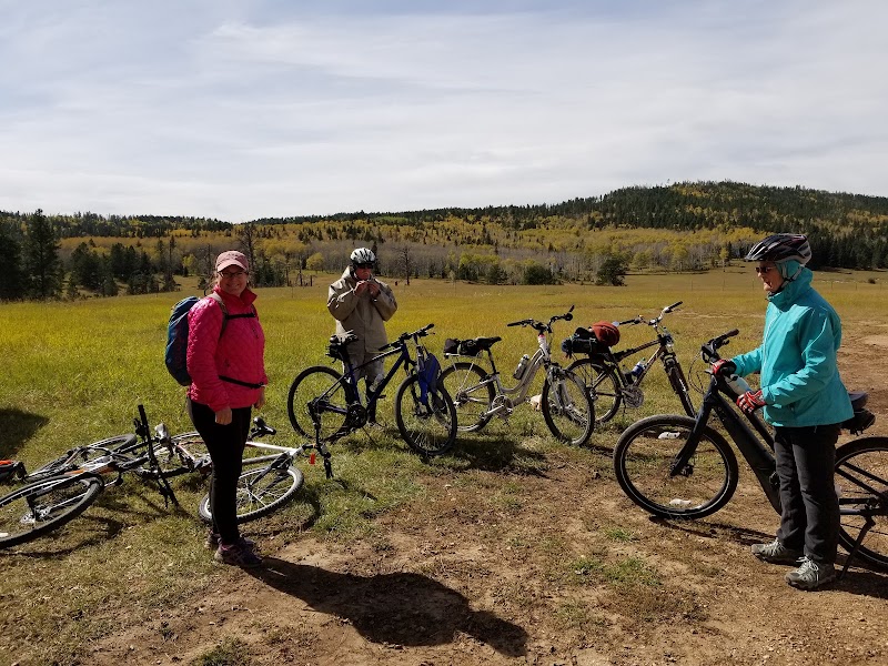
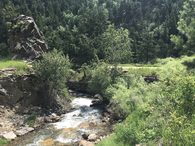
Rochford is a near-ghost crossroads deep in the central hills, a scatter of a few buildings around one of the fifteen trailheads on the George S. Mickelson Trail. This is the launch point for the day's ride: the trailhead has parking, a self-service trail-pass station, and vault toilets, and sits on one of the quietest, most forested segments of the entire 109-mile route. The trail here follows the old Burlington & Missouri River railroad grade, so gradients never exceed a gentle four percent — the crushed-limestone surface is friendly to hybrid and gravel bikes alike. Buy the inexpensive day pass at the self-pay station before setting out. Bring your own bikes, or rent in Hill City beforehand, as there is no service in Rochford itself.
🍽️
Lunch
Continue at Mickelson Trail — Rochford to Mystic Ride
4.6
Use the afternoon to explore a different side of Rochford Trailhead, George S. Mickelson Trail — there's more to discover beyond the morning highlights.
🍽️ Lunch11:15 AM
Moonshine Gulch Saloon, Rochford
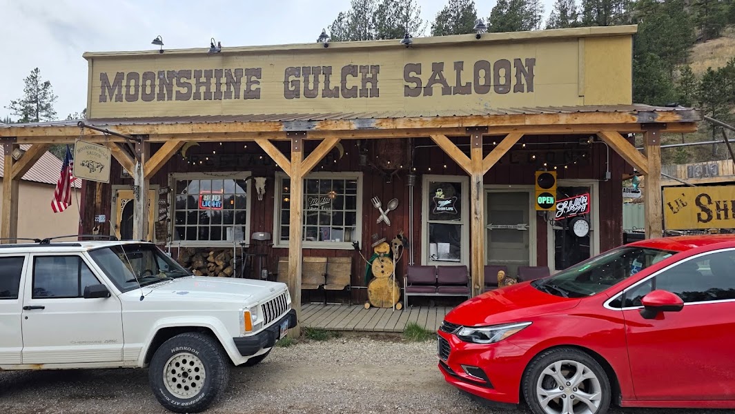
Back at the trailhead, the Moonshine Gulch Saloon is a Black Hills institution — a weathered, dollar-bill-papered log tavern that has anchored the crossroads of Rochford for generations and serves cold drinks, chili, and hearty sandwiches to cyclists, ranchers, and motorcyclists rolling through the hills. Its walls and ceiling are shingled with signed bills and business cards left by decades of travelers, and the porch is a fine place to rest a pair of tired legs. It is the only real dining option for many miles, and a beloved one. Hours can be irregular in the off-season, so a picnic makes a good backup.
4.7$$bar📍 Maps →
2 options · tap to switch
☀️
Afternoon
Continue at Mickelson Trail — Rochford to Nahant leg
4.6
Use the afternoon to explore a different side of Rochford Trailhead, George S. Mickelson Trail — there's more to discover beyond the morning highlights.
🌙
Evening
🚗
Drive
Rochford, SDLead, SD
35 min5:00 PM5:35 PM
🛏️
Lead mountainside lodging
Lead — pronounced 'leed' — is a mile-high former gold town draped across the steep mountainside above the vast open cut and headframes of the historic Homestake mine, once the deepest and richest gold mine in the Western Hemisphere. Its quiet, less-touristed streets and cooler high-elevation air make it a fine base for the northern hills, with a handful of inns, lodges, and vacation rentals clinging to the slopes. Book a room here to sit at the foot of tomorrow's climb up Terry Peak, only minutes away. The town has a couple of good casual restaurants for the evening, and additional lodging is available in the surrounding northern-hills communities if Lead is full.
Day 2Terry Peak & the northern-hills trails, SD
Day 2Terry Peak & the northern-hills trails, SD
🚗 1 hr 25 min driving📍 4 stops
🌅
Morning
🚗
Drive
Lead, SDTerry Peak, SD
15 min8:00 AM8:15 AM
Terry Peak Summit
Terry Peak Summit
4.8
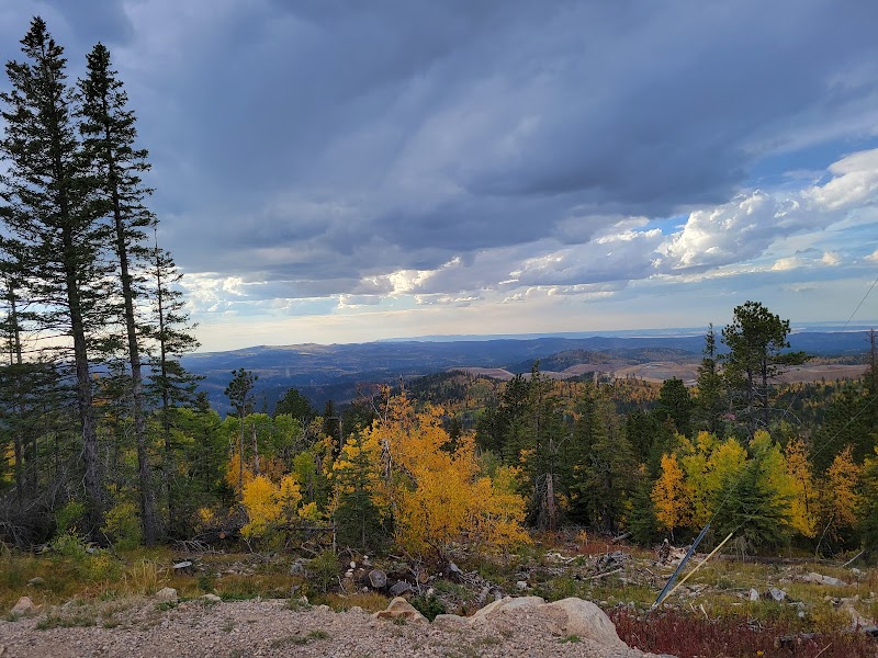
At 7,064 feet, Terry Peak is one of the highest summits in the Black Hills and the roof of the northern range, crowned with observation decks and communication towers reachable by trail and service road above the Terry Peak ski area. On a clear day the summit panorama is astonishing — a claimed sweep across four states, with the Bear Lodge Mountains, the Powder River Basin, and the northern plains laid out in every direction, and the pine-carpeted hills rolling south toward the higher central peaks. Hikers can climb the ridgeline trails from the ski-area base to gain the summit under their own power, a stiff but rewarding pull through spruce and past open ski runs. Mornings are best for clarity before afternoon haze and thunderstorms build over the hills. Bring a windbreaker; the summit is exposed and often blustery even in summer.
🍽️
Lunch
Kirk Trail & northern-hills forest loop
4.8
Below Terry Peak, a network of forest trails and old logging roads laces the ridges between Lead and the surrounding Black Hills National Forest, offering quiet hiking through dense stands of spruce and ponderosa with occasional openings onto long views. Routes such as the Kirk Trail follow historic mining and railroad grades through the reclaiming forest, passing old prospect pits and beaver ponds, and can be tailored to any length. This is peaceful, uncrowded walking well away from the tourist corridors below, with cool shade and the constant sound of wind in the high pines. Trail junctions can be lightly signed, so carry a map or GPS track and note your turns. Pack lunch to eat at a forest overlook.
🍽️ Lunch10:15 AM
Lewie's Burgers & Brews, Lead
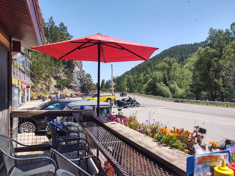
Down in Lead, Lewie's is the town's favorite casual stop — a relaxed pub serving generous burgers, Mexican-inflected plates, and local beers to a mix of miners' descendants, ski-hill workers, and travelers. It is an easy, unhurried place to refuel after a morning on the peak, with the friendly, unvarnished feel of a working mountain town. A solid choice for a late lunch before the trails or the drive home.
4.6$$bar📍 Maps →
2 options · tap to switch
☀️
Afternoon
Mickelson Trail — Sugarloaf to Kirk segment
4.6
Before turning south, sample the northern end of the Mickelson Trail on foot where it climbs toward its high point near the Sugarloaf and Kirk trailheads above Lead — some of the highest, most scenic ground on the entire rail-trail. A short out-and-back walk along this segment takes in sweeping views over the mined and reforested hills, the trestles and cuts of the old railroad grade, and the deep spruce forest that has reclaimed the slopes. It is a fitting final stretch, tying the trail-riding theme of the trip back to the high country of the second day. Keep it short to leave time for the drive; the light through the late-afternoon pines is a fine send-off.
🌙
Evening
🚗
Drive
Lead, SDRapid City, SD
1 hr 10 min5:00 PM6:10 PM
Plan your own escapeExplore more trips →