← The Weekend Getaways
🥾 ActiveWeekend · from Rapid City, SD

Buffalo Gap National Grassland — Bison, Prairie Dogs & Agate Beds

Two days on the vast, open prairie of the Buffalo Gap National Grassland — nearly 600,000 acres of mixed-grass plains, eroded buttes, and hidden badlands that wrap around the more famous park to the east, offering the same big-sky wildness with a fraction of the crowds. Day one explores the Conata Basin and the Sage Creek country, where free-roaming bison graze the shortgrass, black-footed ferrets have been reintroduced among sprawling prairie-dog towns, and the grassland's own badland formations rise pink and gold from the flats — all on national-grassland land, not the national park. Day two turns to the Fairburn agate beds, a legendary rockhounding ground where South Dakota's state gemstone weathers out of the prairie, then walks the French Creek grassland country before the return north. Nights are spent in the frontier towns of Wall or Interior on the grassland's edge. Wind, distance, and solitude define this trip; come self-sufficient and let the prairie do the rest.

Day 1 — Conata Basin & the Sage Creek prairieDay 2 — Fairburn agate beds & French Creek grassland
Day 1Conata Basin, Buffalo Gap National Grassland, SD
Day 1Conata Basin, Buffalo Gap National Grassland, SD
🚗 1 hr 30 min driving📍 5 stops
🌅
Morning
🚗
Drive
Rapid City, SDConata Basin, Buffalo Gap National Grassland
1 hr8:00 AM9:00 AM
Conata Basin Prairie-Dog Complex
4.8
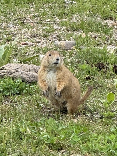
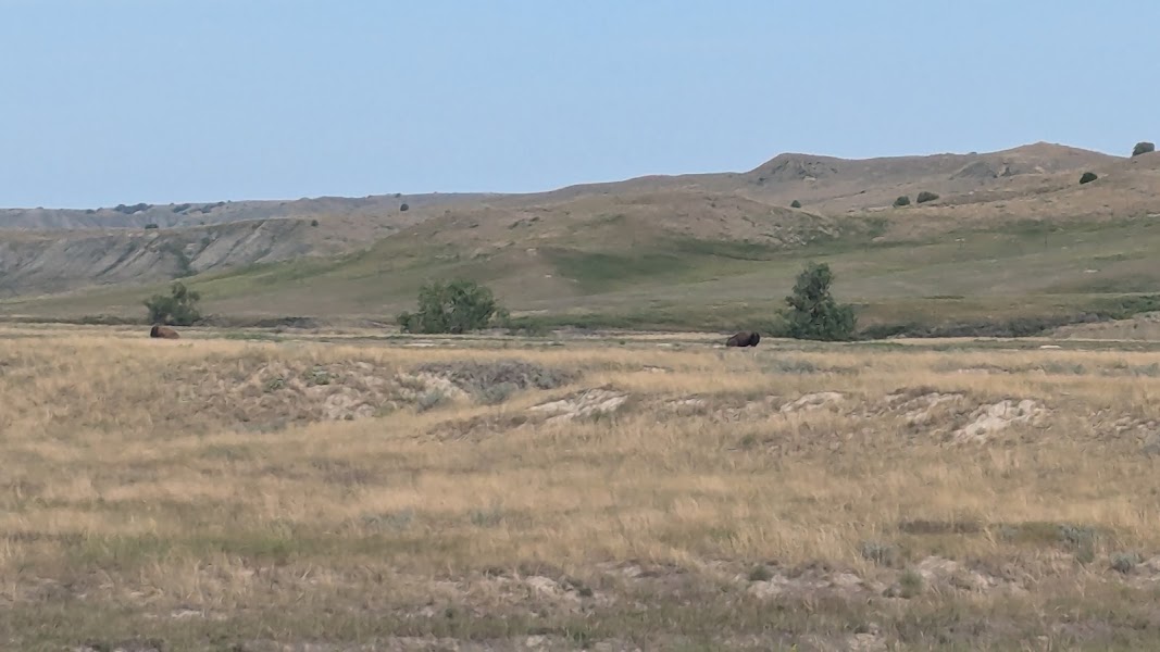
The Conata Basin, on Buffalo Gap National Grassland land south of the park boundary, holds one of the largest black-tailed prairie-dog complexes on the northern plains — a sprawling town covering thousands of acres of the basin floor. This colony is the ecological heart of the grassland: it supports one of the most successful reintroductions of the endangered black-footed ferret, North America's rarest mammal, along with burrowing owls, ferruginous hawks, and swift foxes that hunt the mounds. Drive the grassland roads slowly and scan the flats with binoculars; dawn and dusk are the prime hours for wildlife on the move. This is national-grassland ground open to dispersed exploration, so you can pull off, walk out among the burrows, and take in the sheer scale of the prairie ecosystem. Roads turn to greasy gumbo when wet — check conditions and carry water.
🍽️
Lunch
Sage Creek Rim grassland & bison country
4.8
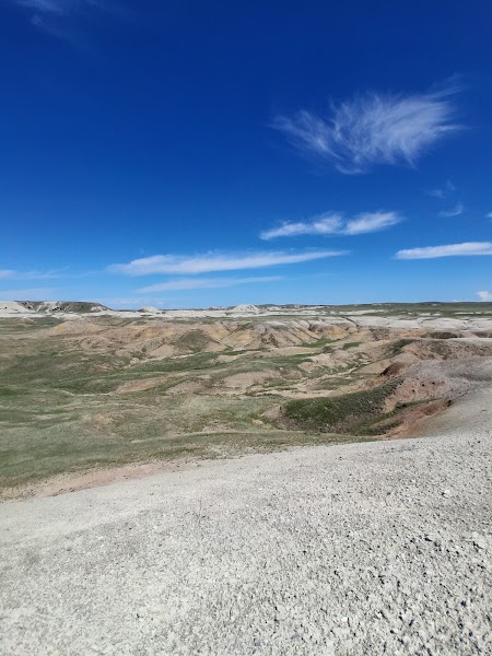
West of Conata, the Sage Creek country is open, roadless prairie where free-roaming bison graze the mixed-grass rim above the eroding badland draws. This is some of the wildest grassland walking within reach of Rapid City — trailless, unfenced country where you set your own line across the shortgrass and rolling swells, watching the horizon for the dark shapes of the bison herd. The animals are wild and genuinely dangerous, so keep a wide berth of at least a hundred yards and never approach; a herd that looks placid can move with startling speed. Pronghorn drift across the flats, and the wind is a constant companion. The reward is solitude on a scale hard to find elsewhere — miles of prairie, big sky, and the low grinding sound of grazing bison carried on the wind.
Wall Drug Cafe, Wall
4.2
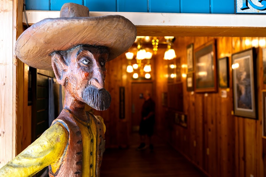
The frontier town of Wall, on the grassland's northern edge, is home to the sprawling Wall Drug complex, whose cafe has fed prairie travelers since the Depression with hot beef sandwiches, homemade pie, and its famous five-cent coffee. It is a kitschy, cavernous roadside institution — part restaurant, part shopping arcade, part Western museum — and a welcome dose of civilization after a morning on the open grassland. Fill your water bottles and grab supplies here; services are sparse once you leave town. It is touristy but genuinely fun, and the doughnuts are worth the stop.
11:00 AM📍 See location
☀️
Afternoon
Conata Basin grassland badlands walk
4.8
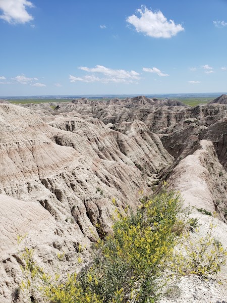
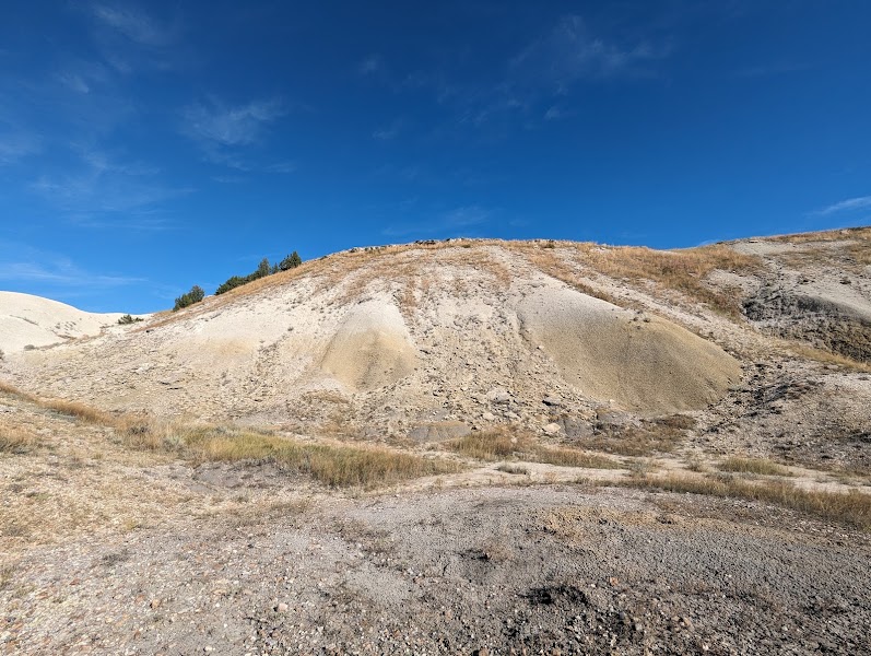
Back in the Conata Basin, the grassland's own badland formations rise from the prairie in banded spires and eroded walls of pink, tan, and gold clay — the same fossil-rich Oligocene sediments that build the more famous formations to the east, here open to free wandering on national-grassland land. A cross-country afternoon walk lets you weave among the buttes and dry washes, tracing the abrupt line where lush prairie meets bare, sculpted rock. Late-day light is when this country is at its finest, the low sun deepening every color and throwing long shadows across the flats. There are no marked trails, so navigate by landmark, keep track of your route back, and stay off the steep, crumbly slopes, which erode underfoot. Watch for the fossils that weather out here, but leave them in place.
🌙
Evening
🚗
Drive
Conata Basin, SDWall, SD
30 min5:00 PM5:30 PM
🛏️
Wall or Interior lodging
The frontier towns on the grassland's edge make the practical base for the night. Wall, to the north along the interstate, has a cluster of reliable chain and independent motels and easy access to fuel and supplies. Interior, a tiny hamlet to the southeast, offers a couple of rustic motels and a campground with a wonderfully remote, end-of-the-road feel and superb dark-sky stargazing over the prairie. Either puts you close to tomorrow's drive toward the Fairburn agate beds. Book ahead in summer, as rooms in these small towns fill quickly and options are limited.
Day 2Fairburn Agate Beds & French Creek grassland, SD
Day 2Fairburn Agate Beds & French Creek grassland, SD
🚗 1 hr 35 min driving📍 4 stops
🌅
Morning
🚗
Drive
Wall, SDFairburn Agate Beds, Buffalo Gap National Grassland
55 min8:00 AM8:55 AM
Fairburn Agate Beds
Fairburn Agate Beds
4.7
The Fairburn agate beds, on Buffalo Gap National Grassland land west of the Conata road, are among the most famous rockhounding grounds in North America — the source of the Fairburn agate, South Dakota's state gemstone, prized by collectors for its intricate concentric banding in reds, pinks, and purples. The agates weather out of ancient limestone gravels and lie scattered across the open prairie, where finding one is a matter of patient, eyes-down walking over the wind-scoured flats. Collecting for personal use is permitted on the grassland, and the hunt itself — hours of slow prospecting across the vast, silent prairie — is the real draw whether or not you strike a prize stone. Bring water, sun protection, and sturdy shoes, and wet the surface stones or hunt after rain to make the banding pop. The access roads are rough dirt; a high-clearance vehicle is a real advantage.
🍽️
Lunch
French Creek grassland trail
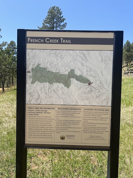
West of the agate beds, the French Creek country of the Buffalo Gap grassland offers rolling prairie hiking along the creek's grassy draws, where cottonwoods and willows thread green corridors through the shortgrass and the land rises toward the pine hills on the horizon. Walking the open grassland here, you follow the creek's meanders past old homestead sites and grazing country, with meadowlarks calling from the fence lines and hawks riding the thermals overhead. It is gentler, greener country than the badlands of the day before — a pastoral counterpoint of prairie streams and grass. There are no formal trails, so route along the creek and by landmark. Watch for cattle on this actively grazed allotment, and close any gates you open.
🍽️ Lunch10:55 AM
🍽️
Sugar Shack, Hermosa
On the way back north toward Rapid City, the small ranching town of Hermosa sits at the western edge of the grassland and offers a genuine country-cafe stop for a late lunch of burgers, breakfast plates, and homemade pie. It is an unfussy, friendly place that feeds ranchers and travelers alike, and a welcome sit-down after a morning of prospecting and prairie walking. A fitting last taste of grassland-country cooking before the drive home.
$$restaurant📍 Maps →
2 options · tap to switch
☀️
Afternoon
Buffalo Gap grassland overlook
4.4
Before turning for home, climb one of the grass-topped buttes along the grassland's western rim for a final panorama across the plains you have crossed over two days — the badland spires of Conata, the green thread of French Creek, and the dark line of the Black Hills rising to the west. A short off-trail walk to a high point rewards you with the full sweep of the mixed-grass prairie, an ocean of grass rolling to every horizon under the enormous sky. It is a quiet, unhurried way to close the trip, watching the cloud shadows chase across the flats. Time your descent for the light and keep an eye on the western sky, where prairie thunderstorms build fast on summer afternoons.
🌙
Evening
🚗
Drive
Hermosa, SDRapid City, SD
40 min5:00 PM5:40 PM
Plan your own escapeExplore more trips →