🥾 ActiveDay trip · from San Francisco, CA
Angel Island & Marin Ridgeline: Bay Views from the Water's Edge
Angel Island is the largest natural island in San Francisco Bay — a former immigration station, military base, and now a state park ringed by 13 miles of trails, with 360-degree views of the bay and all four bridges. The ferry crossing from Tiburon takes 10 minutes and removes you from the city entirely. Combine it with the Mount Tamalpais Dipsea Trail descent for a day that covers the full spectrum of Bay Area trail terrain.
Day 1 — Angel Island State Park & Mount Tamalpais
Day 1 — Angel Island State Park & Mount Tamalpais
Day 1 — Angel Island State Park & Mount Tamalpais
🚗 1 hr 42 min driving📍 4 stops
🌅
Morning
🚗
Drive
San Francisco, CA → Tiburon Ferry Terminal
30 min
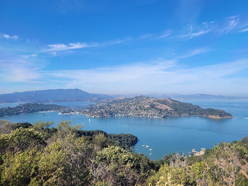
Angel Island State Park — Perimeter Road & Immigration Station
★ Reviews →The 5-mile perimeter road circles the island at water level, passing through eucalyptus groves and open grassland with continuous views of the bay — the San Francisco skyline, Alcatraz, the Golden Gate, and the Richmond Bridge are all visible from different points on the loop. The Immigration Station on the island's north side processed 1 million immigrants between 1910 and 1940, primarily from China and Japan; the deteriorating barracks with poetry carved into the walls by detained immigrants are among the most affecting historical sites in California. The Sunset Trail climbs from the perimeter road to the 788-foot summit of Mount Livermore for the full 360-degree bay panorama.
~2 hrs📍 See location
🍽️
Lunch
🚗
Drive
Tiburon Ferry Terminal → Sam's Anchor Cafe
5 min
🍽️ Lunch~1 hr
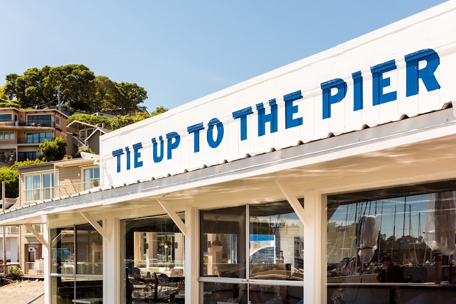
Sam's Anchor Cafe
A Tiburon waterfront institution since 1921, with outdoor deck seating directly above Richardson Bay and views across the water to Belvedere and Angel Island. The fish and chips are the traditional order; the Dungeness crab sandwich and clam chowder reflect the bay's fishing heritage. The decks are heated in summer — arrive early for a waterfront table.
4 options · tap to switch
☀️
Afternoon
🚗
Drive
Sam's Anchor Cafe → Mount Tamalpais — Dipsea Trail
25 min
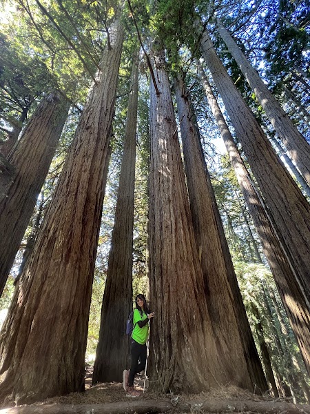
Dipsea Trail — Muir Beach Section
★ Reviews →The Dipsea Race (operating since 1905) follows a 7.4-mile course from Mill Valley to Stinson Beach across Mount Tamalpais's flanks — the trail section from the Panoramic Highway down to Muir Beach is among the most scenic 3.5-mile stretches of trail in Marin County, descending 1,200 feet through coastal scrub and redwood forest to the Pacific. The Muir Beach overlook partway down provides one of the finest south-facing coastal views accessible by trail within an hour of San Francisco.
~2.5 hrs📍 See location
🌙
Evening
🚗
Drive
Muir Beach → Pelican Inn
2 min
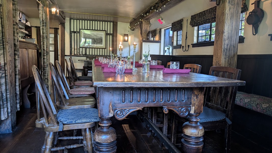
Pelican Inn
★ Reviews →A Tudor-style English pub built in 1979 directly adjacent to Muir Beach, serving pints of Bass Ale and Guinness alongside shepherd's pie, bangers and mash, and a proper ploughman's lunch. The fireplace and low-beamed ceiling create a convincingly authentic atmosphere; the location within Marin headlands makes it one of the most singular restaurants in the Bay Area.
~1 hr📍 See location
🚗
Drive
Pelican Inn → San Francisco, CA
40 min
← All San Francisco trips
More getaways from San Francisco
Mount Diablo: Summit View & Danville — Day trip🥾Mount Tamalpais Summit & Point Reyes Kayaking — Weekend🥾Año Nuevo Elephant Seals, Coastal Redwoods & Tomales Bay Paddling — Long weekend🥾Sausalito Houseboats & Tiburon Waterfront — Day trip🏛️Sonoma Wine Country & the Bear Flag Republic — Weekend🏛️Napa Valley Culinary Capital, Sonoma Arts & Frank Lloyd Wright's Marin — Long weekend🏛️Stinson Beach & Bolinas Lagoon: Marin's Secret Coast — Day trip🌿Russian River Resort Town & the Bohemian Highway to Dillon Beach — Weekend🌿
© 2026 theweekendgetaways.com · All itineraries are original content. Terms
Plan your own escapeExplore more trips →