🥾 ActiveDay trip · from San Francisco, CA
Mount Diablo: Summit View & Danville
Mount Diablo rises 3,849 feet from the East Bay floor to deliver one of the most panoramic summits in Northern California — on clear days the view extends from the Sierra Nevada to the Farallon Islands and from Mount Shasta to Lassen Peak. The summit is 45 minutes from San Francisco via I-680; the route continues through the adjacent Round Valley Regional Preserve trails before a brewpub stop in downtown Danville.
Day 1 — Mount Diablo State Park, Round Valley Trails & Danville
Day 1 — Mount Diablo State Park
Day 1 — Mount Diablo State Park
🚗 1 hr 45 min driving📍 4 stops
🌅
Morning
🚗
Drive
San Francisco, CA → Mount Diablo State Park — South Gate
45 min
Drive east via I-80 across the Bay Bridge, then south on I-680 through Walnut Creek to Danville, then north on Diablo Road to the South Gate entrance.
📍
Mount Diablo Summit Trail
★ Reviews →The 6.6-mile round-trip North Peak Trail climbs 2,369 feet to the 3,849-foot summit — the highest point in the Diablo Range — through serpentine chaparral, blue oak woodland, and exposed rocky ridgeline. The summit delivers a 360° view encompassing the Sierra Nevada, the Coast Range, and the San Francisco Bay from a single point; on clear days the panorama extends from the Sierra Nevada to the Pacific — one of the most panoramic summits in Northern California, with views extending to Mount Shasta on the clearest winter days. The Summit Museum documents the full visual range.
~4.5 hrs📍 See location
🍽️
Lunch
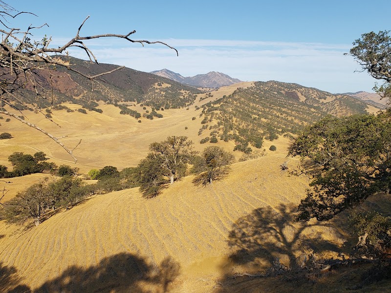
Round Valley Regional Preserve Trails
★ Reviews →Adjacent to Mount Diablo State Park, Round Valley's 2-mile grassland loop trail traverses land that served as hunting grounds for the Miwok and Ohlone peoples for thousands of years and is now protected as open space preserving that ecological character. The east-facing canyon supports ground squirrel colonies, golden eagle foraging habitat, and valley oak savanna that has largely disappeared from the surrounding developed East Bay. The trail is noticeably quieter than the main Diablo routes and gives a sense of the original East Bay grassland landscape.
~1.5 hrs📍 See location
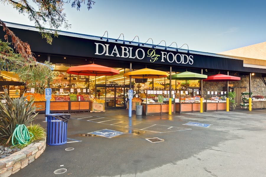
Diablo Foods Deli — Lafayette
★ Reviews →A beloved East Bay deli and market in Lafayette, 20 minutes from the Diablo trailhead, serving housemade sandwiches, soups, and salads with local and artisan ingredients — the perfect mid-hike fuel stop before continuing into Danville for the afternoon.
~15 min📍 See location
☀️
Afternoon
🚗
Drive
Round Valley Regional Preserve → Danville Brewing Company
15 min
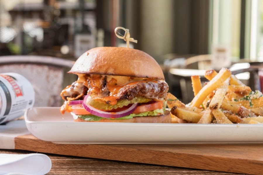
Danville Brewing Company
★ Reviews →A brewpub in downtown Danville, 15 minutes from the park entrance, serving American pub food alongside house-brewed ales in a comfortable tap-room setting on Hartz Avenue. The California Common and the IPA are the house anchors; the kitchen turns out reliable burgers, sandwiches, and salads that handle post-hike hunger well. Danville's walkable downtown, with its Victorian commercial blocks along the Iron Horse Regional Trail, adds pleasant context to the post-hike stop.
~1.5 hrs📍 See location
🚗
Drive
Danville, CA → San Francisco, CA
45 min
Drive south on I-680 to I-580 west, then US-101 or I-80 into San Francisco.
← All San Francisco trips
More getaways from San Francisco
Angel Island & Marin Ridgeline: Bay Views from the Water's Edge — Day trip🥾Mount Tamalpais Summit & Point Reyes Kayaking — Weekend🥾Año Nuevo Elephant Seals, Coastal Redwoods & Tomales Bay Paddling — Long weekend🥾Sausalito Houseboats & Tiburon Waterfront — Day trip🏛️Sonoma Wine Country & the Bear Flag Republic — Weekend🏛️Napa Valley Culinary Capital, Sonoma Arts & Frank Lloyd Wright's Marin — Long weekend🏛️Stinson Beach & Bolinas Lagoon: Marin's Secret Coast — Day trip🌿Russian River Resort Town & the Bohemian Highway to Dillon Beach — Weekend🌿
© 2026 theweekendgetaways.com · All itineraries are original content. Terms
Plan your own escapeExplore more trips →